Looking for a place that stays calm after sunset but keeps daily life simple? On Lady’s Island, you get quiet streets, wide water views, and quick access to downtown Beaufort. If you want boating, beaches, and easy errands without giving up a short hop to restaurants and shops, this island might be your best fit. In this guide, you’ll learn how the bridge, roads, services, and neighborhoods work together to shape everyday life on Lady’s Island. Let’s dive in.
Where island meets downtown
The Richard V. Woods Memorial Bridge is the historic swing bridge that links downtown Beaufort and Lady’s Island. It is a navigable swing span, so it opens for boat traffic at intervals, which can add short delays at certain times. You can read more about the bridge’s history and function in the state’s historic entry for the Woods Memorial Bridge.
From central Lady’s Island, the drive to downtown Beaufort is commonly reported at roughly 6 miles and about 10 to 15 minutes, depending on where you start and the time of day. For a sense of typical distance, see this snapshot of Lady’s Island to Beaufort driving distance. Actual times can vary with the bridge opening or afternoon peaks, so check live navigation when you head out.
On-island, Sea Island Parkway and Sams Point Road form the main corridor for shopping and services. Ladys Island Drive and Brickyard Point Road connect neighborhoods to those anchors and to boat ramps. The road network is simple once you learn the few primary routes.
Getting around day to day
Most of Lady’s Island is car-first. A WalkScore snapshot for a central island address shows very low walkability for errands. That said, the essentials are clustered together, so short drives cover a lot of needs.
If you prefer to leave the car sometimes, Palmetto Breeze operates commuter and fixed routes with stops on Lady’s Island Drive and near the main shopping corridor. Schedules are more limited than big-city systems, but they can fit certain commutes. You can browse a route example on Palmetto Breeze’s map page.
For regional trips, plan on a flexible window rather than a fixed time. The drive to Hilton Head Island is commonly described as roughly 30 to 60 minutes depending on route and traffic. For air travel, Savannah-area airports are typically around an hour away by car. Always confirm with live apps for your exact origin.
Military professionals will find both MCAS Beaufort and Parris Island reachable by car from Lady’s Island. Exact door-to-door times vary by neighborhood and time of day. For an overview of MCAS and area context, see the MCAS Beaufort base guide.
Everyday services and healthcare
You will find groceries, pharmacies, and banks right along the Sea Island Parkway and Sams Point Road spine. Anchors include Publix near Ladys Island Drive, Food Lion on Sams Point Road, and a Walmart Supercenter on Sea Island Parkway. For quick reference on hours and location, check the Publix on Lady’s Island listing. Pharmacies and bank branches cluster nearby, so most errands can be done in one loop.
Healthcare access is straightforward. Beaufort Memorial Hospital is the area’s primary civilian acute-care hospital, located just across the river in Beaufort. Learn more about services and the main campus on the Beaufort Memorial Hospital page. Military beneficiaries also have access to Naval Hospital Beaufort and base clinics; contact your provider for details.
Postal services for Lady’s Island operate through the Beaufort network under ZIP code 29907. If you work from home or run a small business, you will also find shipping and banking options along the same corridor.
Outdoor life on the water
If you love the water, Lady’s Island puts you close to the action. Lady’s Island Marina sits on Factory Creek and offers wet slips and boater amenities, with shops and restaurants nearby. It is a central hub for island boaters and a convenient home base if you want services within minutes of home.
Public boat ramps add flexibility for trailer boats and kayaks. County and local directories list multiple landings in and around the island, including Brickyard Point, Sams Point, and White Hall, with more options around Port Royal and Parris Island. You can browse a compiled list of Beaufort-area boat ramps to plan your launch.
Day trips are part of the fun. The Intracoastal Waterway and Beaufort River lead to barrier-island beaches and fishing grounds, including popular routes toward Hunting Island and Fripp. Travel times depend on your vessel and tides, so plan with local charts. If you expect frequent boating, think through slip availability, ramp parking, and tidal depth at your dock or community landing before you buy.
On land, several planned neighborhoods include walking paths, pools, or small parks. The island feels residential and relaxed, with plenty of space for morning walks under live oaks. Regional beaches and larger parks are an easy weekend plan by car.
Neighborhood snapshots
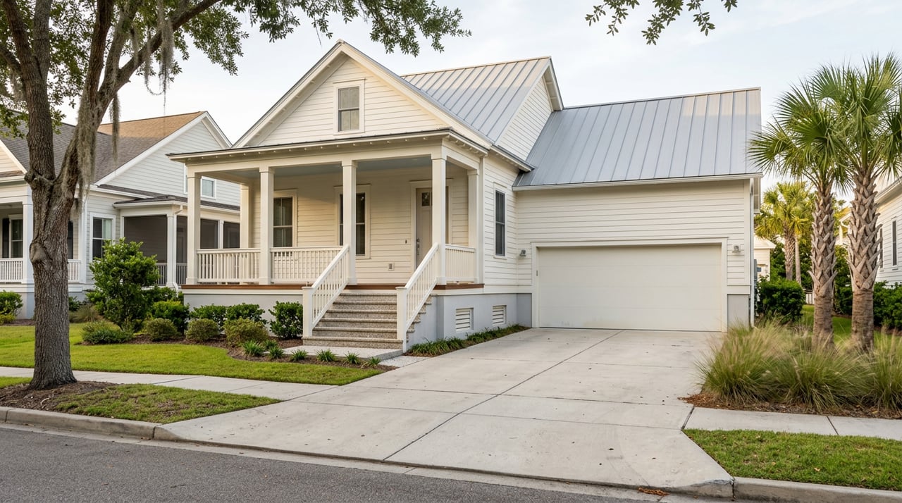
Lady’s Island is compact, yet the feel changes from pocket to pocket. Here are a few examples to guide your scouting. Always confirm current HOA amenities and rules as they can change over time.
- Celadon. A newer planned community with civic-style amenities such as a clubhouse, pool, trails, and storage options. It suits buyers who want newer construction and quick access to town.
- Coosaw Point. A waterfront neighborhood known for its river clubhouse, pool, and community dock. Social programming and amenities make it a good fit if you want a resort-style environment without living downtown.
- Village of Distant Island. A deepwater community with an emphasis on private docks, marsh views, and a community launch. A strong choice if boating access and larger waterfront lots are your priority.
- Royal Pines. An established, golf-oriented pocket with mature trees and larger lots. It appeals to buyers who prefer a traditional suburban setting near recreation.
- Brickyard Point and Walling Grove. Larger wooded lots and some waterfront homes along Broomfield and Coosaw creeks provide a Lowcountry, semi-rural feel with privacy and marsh outlooks. The Walling Grove neighborhood site is a helpful starting point for community background.
- Burckmyer/Burkmeyer Beach area. A stretch of older river cottages and small waterfront homes oriented to sunset views and informal marsh access. It shows off the island’s earlier character and charm.
Each pocket balances calm streets with convenient access to Sea Island Parkway for shopping. If you rely on a boat ramp or community dock, note where those sit within each neighborhood and how they align with your daily routine.
Lady’s Island vs. downtown Beaufort
Downtown Beaufort delivers a compact, walkable historic district with restaurants, galleries, and a waterfront park setting. Lady’s Island offers larger lots, newer planned communities, and a quieter, more suburban-coastal feel that is typically car-dependent. Many residents choose the island to enjoy space, lawns, and boating while staying only a short drive from downtown’s dining and events. The Woods Memorial Bridge connection keeps both lifestyles within reach.
Practical checklist for buyers
Use this quick list to stress test everyday life before you commit:
- Commute and bridge pattern. Drive your route during your normal hours and factor in possible swing-bridge openings. For a distance reference, review the Lady’s Island to Beaufort snapshot.
- Grocery and pharmacy loop. Map your closest options on Sea Island Parkway and Sams Point Road, and double-check hours on business pages like Publix Lady’s Island.
- Transit back-up. If a bus could help with your schedule, confirm stops and times on Palmetto Breeze’s route map.
- Healthcare plan. Note drive times to Beaufort Memorial Hospital and any specialty providers you use. Military families should also confirm hours at Naval Hospital Beaufort or base clinics.
- Flood and insurance due diligence. Review county guidance on flood risk and mitigation planning to understand elevation, coverage, and resilience. A national overview is available through NACo’s flood resource. Pair this with FEMA maps and your insurance advisor.
- Boating priority. Call Lady’s Island Marina about slip availability and ask about ramp parking at your preferred public landings. Check tidal depth if you want dockage at home.
- Schools and zoning. If schools matter to you, verify attendance zones and current reports directly with the Beaufort County School District and state education sites. Zones can change over time.
Work with a local team
Choosing the right pocket on Lady’s Island comes down to matching your daily rhythm with commute patterns, marina or ramp access, and the errands you run most. When you are ready to walk neighborhoods, compare amenities, and weigh flood and insurance details, our team can guide you with clear, local insight. Connect with the Chambers Helms Group to start a tailored search or request a neighborhood tour.
FAQs
How far is Lady’s Island from downtown Beaufort?
- From central Lady’s Island, the drive to downtown is commonly about 6 miles and roughly 10 to 15 minutes, depending on time of day and bridge openings; confirm with live navigation for your route.
Does the Woods Memorial Bridge cause delays?
- It is a swing bridge that opens for boat traffic at intervals, which can add short waits; plan a small buffer during peak hours or known opening windows.
Is Lady’s Island walkable for daily errands?
- Most errands require a car; a WalkScore sample for a central address shows very low walkability, though essentials cluster along Sea Island Parkway for short drives.
What public transit serves Lady’s Island?
- Palmetto Breeze runs commuter and fixed routes with stops near Sea Island Parkway and Ladys Island Drive; schedules are limited compared with big-city systems.
Where can I launch a boat near Lady’s Island?
- Lady’s Island Marina offers slips and services, and public ramps such as Brickyard Point, Sams Point, and White Hall provide trailer access; check parking rules and tides.
What hospitals serve Lady’s Island residents?
- Beaufort Memorial Hospital is the primary civilian hospital nearby, and military beneficiaries also use Naval Hospital Beaufort and base clinics; confirm availability with your provider.
What should I know about flood risk on Lady’s Island?
- Flood risk varies by elevation and proximity to waterways; review FEMA maps, county guidance, and insurance coverage details early in your search.
How is Lady’s Island different from downtown Beaufort?
- Downtown is a compact, walkable historic district with active street life, while Lady’s Island offers larger lots, newer planned communities, and a quieter, car-dependent coastal feel.